EKO NEWS
Lagos Kicks Off State-wide Drone Mapping Of Informal Urban Spaces
-
Initiative Aims to Sanitize and Regulate Emerging Landed Areas
-
Exercise Aligns with Sanwo-Olu’s THEMES Agenda, Sustainable Development Goals
-
LASPEMA Leverages Technology for Inclusive Urban Management
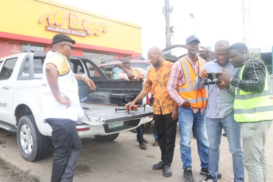
Eko Hot Blog reports that in a move to tackle the misuse of informal urban spaces and promote sustainable development, the Lagos State Government, through the Lagos State Planning and Environmental Monitoring Authority (LASPEMA), has embarked on a state-wide drone mapping exercise of emerging landed areas across the state.
Editor’s Pick:
- FG Begins New Expatriate Job Policy, Violators Risk N3m Fine
- Price Of Block In Nigeria As Cement Sells For Over N10,000
- Osimhen Misses Chance To Extend Scoring Streak As Napoli Secures Historic Victory Over Juventus.
The initiative, which underscores the Babajide Sanwo-Olu administration’s commitment to proactive and inclusive urban management, seeks to address the unauthorized governance of informal urban spaces resulting from the execution of public infrastructure projects, such as the Abule-Egba Jubilee Bridge and the Blue and Red rail lines.
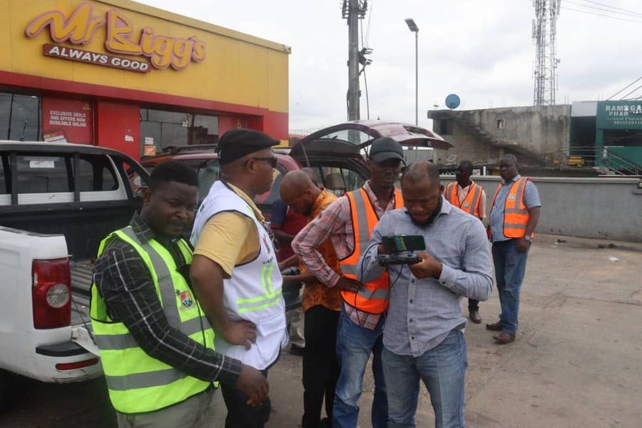
Speaking to the media, LASPEMA’s General Manager, Tpl. Daisi Oso, emphasized the need to regulate these spaces, stating, “The State has, over the years, witnessed the unguided use of these spaces and contended with their unauthorized governance by non-state actors whose activities hinder the growth of Informal Business and impinge on the effectiveness of physical development plans.”
Oso warned that failure to address this issue could lead to a crisis that would adversely affect the state’s critical infrastructure and, by extension, the economy of the Center of Excellence. He stressed the importance of subjecting the informal economy to proper regulation, coordination, and monitoring to breed orderliness, aesthetics, and sustainability in Lagos’s urban landscape.
One of the local government areas where the LASPEMA team carried out the mapping exercise was Agbado-Oke Odo LCDA, where the Chairman, Hon. David Famuyiwa, expressed confidence in LASPEMA’s efforts, describing it as a sign of the deep commitment of the Lagos State Government to addressing challenges facing the Abule Egba Jubilee Bridge area.
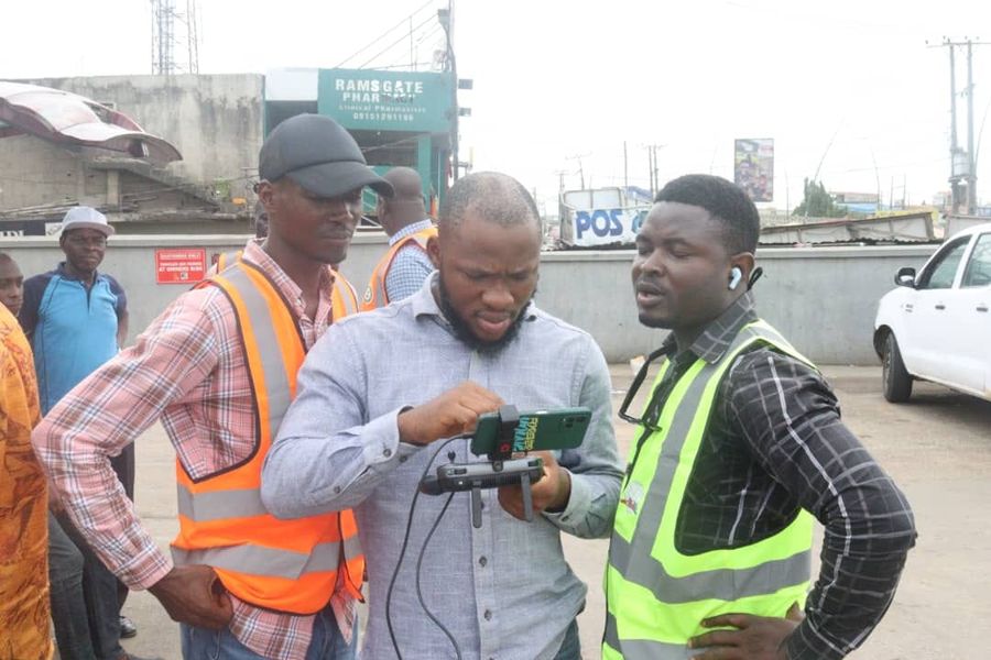
The drone mapping exercise, spearheaded by LASPEMA’s General Manager, was conducted in collaboration with the Office of Physical Planning, under the leadership of the Commissioner for Physical Planning and Urban Development, Dr. Oluyinka Olumide, and the Office of Urban Development, headed by the Special Adviser to the Governor on e-GIS and Urban Development, Dr. Olajide Babatunde.
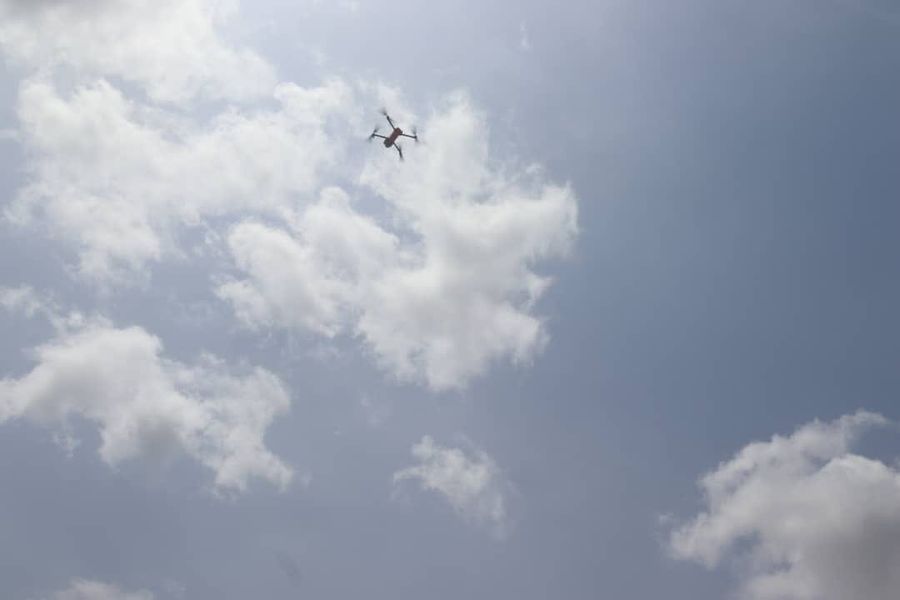
By leveraging the power of Unmanned Aerial Vehicles (UAVs) to create detailed and accurate maps of emerging lands in urban spaces, LASPEMA aims to deploy sustainable planning strategies that will enhance inclusivity in line with the state’s THEMES Plus Agenda and the Sustainable Development Goal 11, which focuses on making cities and human settlements inclusive, safe, resilient, and sustainable.
Further Reading:
- Military Welcomes Sunday Igboho’s Offer To Combat Insecurity In South-West
- Bella Shmurda Opens Up On The Side Effects Of Smoking Weed
- Oyo LG Election: APC Raises Alarm, Threatens To Withdraw Candidates Over BVAS Controversy
The drone mapping initiative underscores LASPEMA’s commitment to embracing innovation and technology as catalysts for positive change in the state’s urban landscape.
Click here to watch video of the week
Advertise or Publish a Story on EkoHot Blog:
Kindly contact us at [email protected]. Breaking stories should be sent to the above email and substantiated with pictorial evidence.
Citizen journalists will receive a token as data incentive.
Call or Whatsapp: 0803 561 7233, 0703 414 5611


